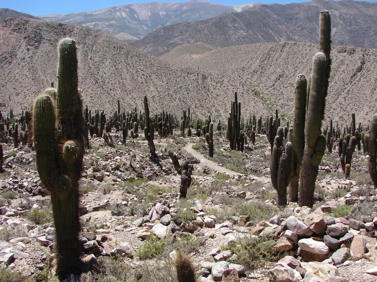
Ascending Cactus to Clouds Trek
In the heart of California's Coachella Valley, a gruelling yet breathtaking hike awaits adventurous souls - the Cactus to Clouds trail. This hike, which ascends over 10,000 feet to the summit of Mount San Jacinto, is renowned as one of the hardest day hikes in the world, according to Backpacker Magazine.
The hike's history is shrouded in mystery, with some believing it was a native Cahuilla trail, while others attribute its creation to the Civilian Conservation Corps (CCC) in the 1930s. Regardless of its origins, the modern-day Cactus to Clouds hike was revived by members of the Coachella Valley Hiking Club in 1991.
The trail's popularity is largely due to its use of the Museum and Skyline trails as its most popular routing. However, the Cactus to Clouds hike offers more than just a scenic route. It presents a unique blend of desert and high-elevation challenges, making it an exciting adventure for experienced hikers.
The recommended time period for hiking the Cactus to Clouds trail is from fall to spring, roughly October through April. This period offers the most favourable daytime temperatures, around 65°F (18°C), avoiding the extreme heat common in summer months. Early to mid-fall (late October to early November) is also suggested as a good window to avoid the worst heat and possibly lingering summer conditions.
In contrast, hiking during summer, especially in July, poses significant risks due to unseasonably hot weather and temperatures well above seasonal norms. It is less safe unless hikers select only high-elevation portions and come very well prepared with water and gear.
The trail's lower parts are on the Aqua Caliente Indian Reservation, and the first part of the hike is on the Skyline Trail, which can be challenging to follow in the dark. Local hikers have blazed the trail with white dots, but these may fade over time.
As hikers ascend, they will encounter steep and loose sections, particularly in the traverse and the section from Coffman's Crag to Grubbs Notch. These areas can become treacherous in the winter due to ice and snow, making winter conditions more of a mountaineering experience.
Winter conditions also bring about extremes of weather at both ends. High temperatures in Palm Springs can often be above 110°F (43°C), while alpine conditions, including snow, ice, and windchill, await at the summit.
Unfortunately, these challenging conditions have claimed lives. People have died on this hike due to heat stroke and falling ice and debris in the traverse section. The Skyline Trail, which forms a significant portion of the Cactus to Clouds hike, is not an officially sanctioned trail but is recognized as a cross-country route, with public access allowed.
To ensure safety, it's usually wise to leave before dawn for the Cactus to Clouds hike. Always carry extra water, inform someone of your plans, and expect variable conditions depending on elevation. Having multiple GPS options can help cross-check your position on the Skyline Trail.
The Cactus to Clouds hike has a rich history and offers a unique challenge for experienced hikers. With proper preparation and respect for the trail's dangers, it provides an unforgettable adventure through California's diverse landscapes.
- The Cactus to Clouds trail, one of the hardest day hikes in the world, ascends over 10,000 feet to the summit of Mount San Jacinto.
- The trail offers a unique blend of desert and high-elevation challenges, making it an exciting adventure for experienced hikers.
- The recommended time period for hiking the Cactus to Clouds trail is from fall to spring, offering favorable daytime temperatures and avoiding extreme heat.
- In summer, especially in July, hiking poses significant risks due to unseasonably hot weather and temperatures well above seasonal norms.
- As hikers ascend, they will encounter steep and loose sections that can become treacherous in winter due to ice and snow.
- To ensure safety, it's usually wise to leave before dawn for the Cactus to Clouds hike, carry extra water, inform someone of your plans, and use multiple GPS options to navigate the trail, especially on the Skyline Trail.


